
The United States Northeast, including New York City, New Jersey, and Connecticut has just been impacted by a frightful, fast-moving snowstorm that intensified Tuesday (2/13/2024). The storm transitioned from rain to snow just in time to cause delays for commuters that morning. The blizzard peaked on Tuesday, but more frigid temperatures are expected Wednesday night and Thursday.
New York City Snowing
The snowstorm is known as a “nor’easter”, because of the province where it formed. These storm types develop as the result of low-pressure atmospheric conditions along the East Coast of North America, usually between New Jersey and Georgia. This area may have ideal conditions for the production of storms, as cold air from the polar jet stream moving south and east meets warm Atlantic Ocean currents below.
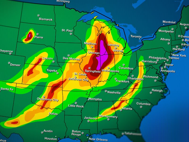
The nor’easter storm over the United States currently has been advancing from central Canada across New England, carrying with it cold air and forceful winds. So far, it’s delivered more than a foot of snow to Farmington Connecticut, which recorded 15.5 inches (39 cm) of snowfall. Like most other nor’easter systems, this one is transporting a great deal of moisture, which is most likely why New York City received so much snow.
New York Expected Snowfall
A detailed forecast of New York City’s winter snowstorm watch was available on the Weather.gov website. Their data predicted snowfall between 4:00 AM to 6:00 PM on 2/13 and 40 mph winds. NYC Mayor Eric Adams tweeted that the snowstorm could lead to as much as 6-8 inches or more of snow depending on the area. Adams therefore moved all schools in the city to remote learning for the day of the 13th.
A separate tweet by the National Weather Service of New York warned that the half foot of snow could cause traffic congestion, auto accidents/spinouts, and airport delays, likely due to poor visibility in the sky. The NWSNY suggested that New Yorkers stay indoors and look out for updates on the local news.
New York Storm Update
By this morning (Wednesday, February 14th, 2024) it was determined that snow had fallen at an average rate of between 1 to 2 inches per hour in the greater New York City area, according to the weather service in New York. Early estimates reported by NBC News and ABC7 state that a little more than 3 inches of snow accumulated in Central Park (New York City). Other areas like eastern Pennsylvania and northern New Jersey may have picked up between 10-15 inches and 6-10 inches of snow respectively.
New York Snow Fall Today
The temperature in New York City today is about 30 degrees Fahrenheit and there is no more snow falling at this time. However, there is still a plowable amount of snow on the ground. The strong winds are being sustained at an estimated 15 to 25 miles per hour, with even faster gusts in some areas, which could make it feel like the temps are in the 20s or teens.
Buffalo New York Snowfall Totals
The National Weather Service (NWS) does not have high snowfall totals currently forecasted for Buffalo New York. The NWS has been using an “experimental forecast product” to provide a range of snowfall possibilities that take specific uncertainties into account. As of now, only about an inch or less of snow is expected to accumulate on the ground in Buffalo, over the next week.

